Posted by smoser 17 hours ago
Now of course you could change the parameters so that the upper screen border is 3 kilometers. But normal standard perspective is even better, because it can show you up to infinity. The inherent concept here is that there is a cut-off at the top, and that there is always a lot of unnecessary stuff near you whizzing by to look at / dopamine kicks. So you would have to constantly look at the screen - instead of at the road.
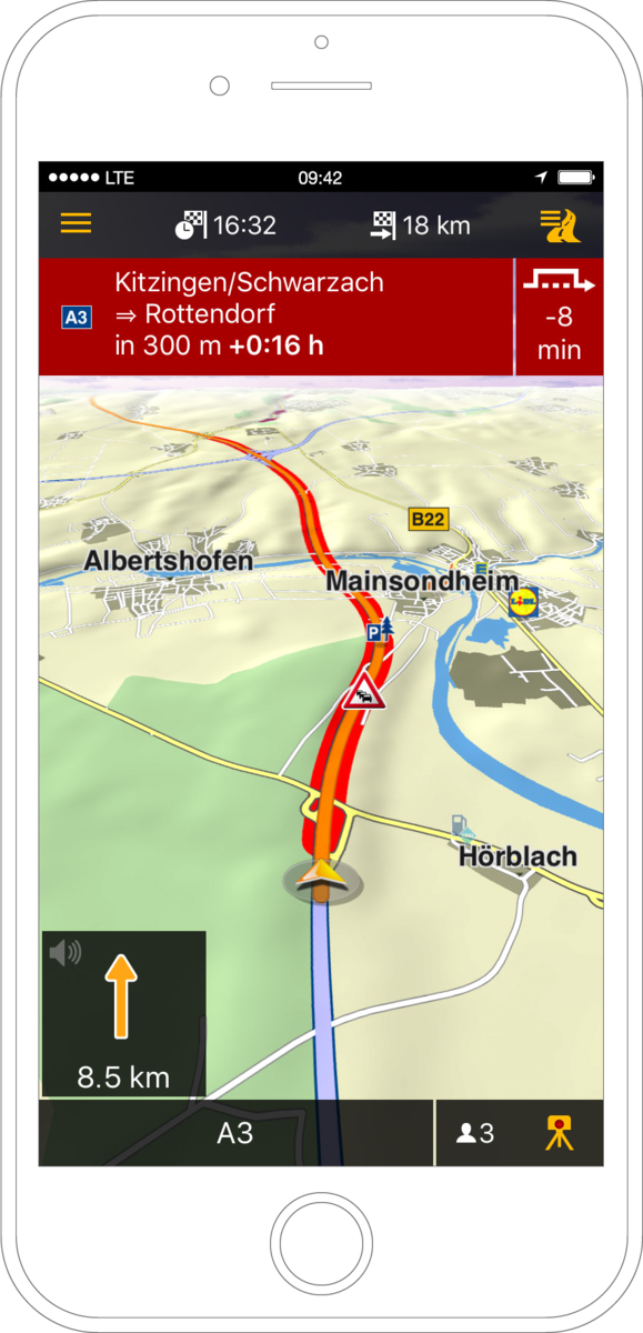
Navigon (among others) back in 2009 showed a perspective that balanced between showing the next junction and the next few kilometers. And leaving out anything unnecessary. I like that better. Example: https://www.notebookcheck.com/fileadmin/_processed_/csm_Garm...
But as a tool for mapbuilders for small areas or planned tours i think this could be great
It might be useful to be able to configure the map viewing angle at the top and bottom of the frame, perhaps even the degree of curvature between them.
I say this because I wonder if a shallower gradient (slightly more top-down at the bottom and slightly more angled at the top) would be more understandable and familiar while providing almost as much information. Not as cool-looking, but potentially more useful as a real navigation aid.
My immediate thought is that this is what is would be like to drive in The Spindle in Neuromancer or any similar space environment that’s spinning for artificial gravity.
I'm fortunate to not suffer motion sickness in general, but I showed this to my wife for 5 seconds and she was feeling motion sick.
Personally, I love it. It's fun, and I look forward to using it one day in lieu of exclusively top down or forward angled alone nav tools.